
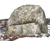
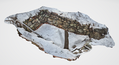
Occupied in the 1600s and early 1700s
Maybe earlier, too...
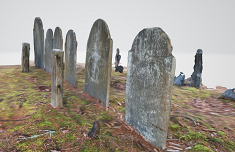
more info coming...
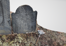
more info coming...
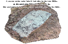
A man was buried under this 9 foot slab in the late 1600s.
In the 1930s some 'historians' dug him up.
His head and hands had been removed some time prior to the 1930s.
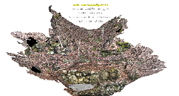
I found this place in the woods 45 years ago.
No info on it.
No metal tool marks.
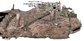
I found this place in the woods 45 years ago.
No info on it.
No metal tool marks.
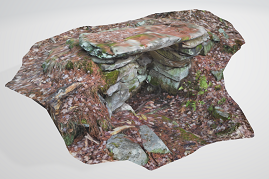
This sits on a hillside in the woods in Middlesex County, MA
10 yards from an ancient Native trail, which was later a stage coach route, and today is just a footpath.
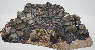
It opens to the south
No metal tool marks.
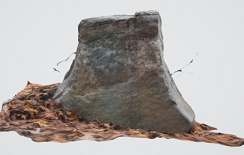
In the woods in Middlesex County, MA
It faces southeast
4 feet tall, 4 feet wide at base, 1 foot thick at base, 6" thick at top.
No tool marks.
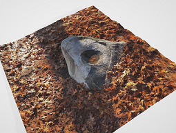
In the woods in Middlesex County, MA
Near an ancient Native east/west trail
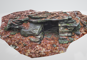
This sits on a hillside in the woods in Middlesex County, MA
It opens to the south
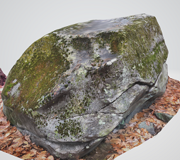
This sits on a hillside in the woods in Middlesex County, MA
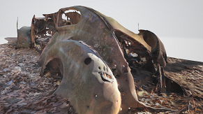
The 'eyes' are worked.
Scan isn't very good. It was raining and that might be the problem..
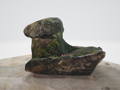
This sits on a stone wall in the woods in Middlesex County, MA
The wall is colonial, built in the 1630s, and most likely built with Native labor.
The wall is 10 yards from a stream.